


Wikiloc - La Palma Los Tillos 50%

Peter.vdbergh
User GUIDE
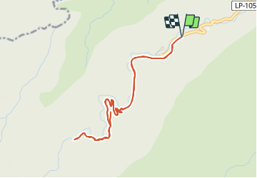

Length
6.3 km

Max alt
850 m

Uphill gradient
495 m
Km-Effort
12.9 km

Min alt
464 m

Downhill gradient
497 m
Boucle
Yes
Creation date :
2021-08-18 21:28:10.441
Updated on :
2021-08-18 21:33:40.952
3h57
Difficulty : Difficult

FREE GPS app for hiking
 SityTrail
IGN / Geographical institutes
SityTrail Plus
The world is yours!
About
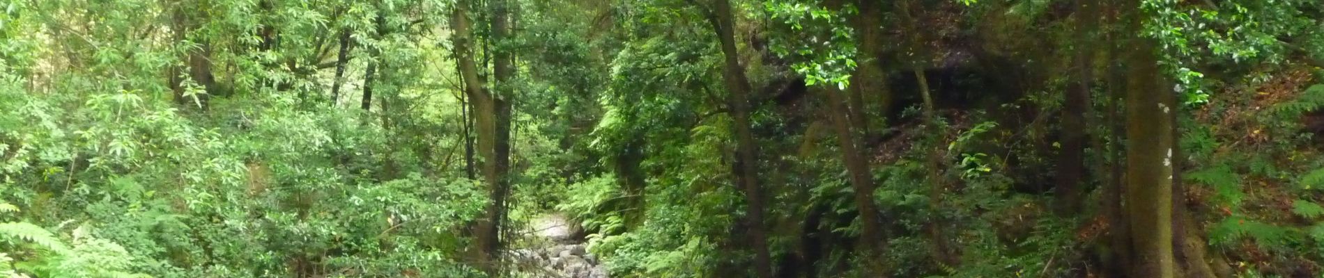
Trail Walking of 6.3 km to be discovered at Canary Islands, Santa Cruz de Tenerife, San Andrés y Sauces. This trail is proposed by Peter.vdbergh.
Photos


Positioning
Country:
Spain
Region :
Canary Islands
Department/Province :
Santa Cruz de Tenerife
Municipality :
San Andrés y Sauces
Location:
Unknown
Start:(Dec)
Start:(UTM)
226733 ; 3188085 (28R) N.
Comments